Earlier quoted context omitted.
it’s a huge stretch to claim there was no bias involved. the biais is in putting europe front and center and at the top. Have you seen maps that place the americas in the center? How about maps with north and south swapped?
Maybe more accurate is that there wasn’t some nefarious bias that was meant to oppress people. Europe was at the center because they made the maps. It’s a simple reason. If some other culture has been dominant we’d be using a projection that makes it more useful for them.
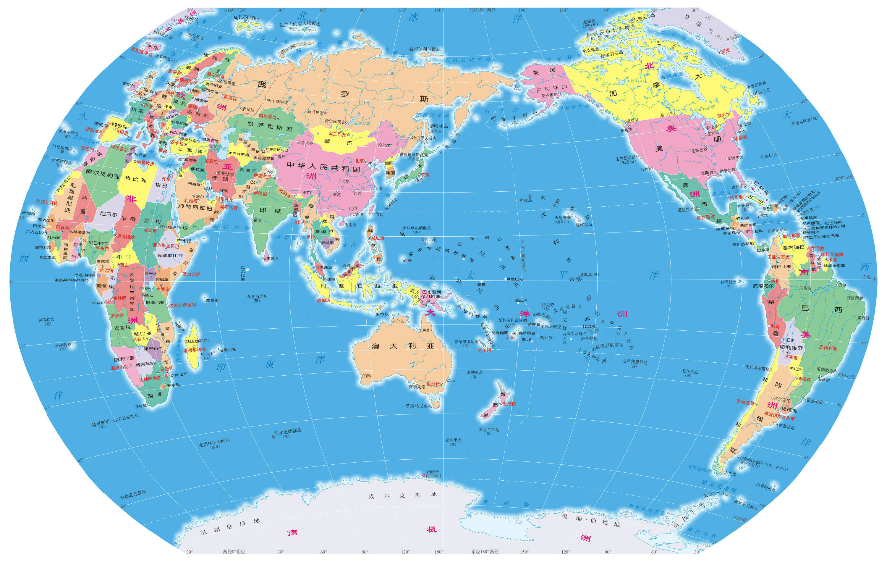
The reason for this is that it's the most "geographical centric" location, with the Americas to the left and Asia to the right, with the huge pacific ocean pushed to the edges. If you place China in the centre then you're "wasting" a lot of space on the pacific. I think [1] is a worse map because significant parts of the world are pushed to the edge in favour of the pacific, which takes centre stage.
You also see this if you zoom out on Google Maps as far as it will allow, putting Africa/Europe in the centre still shows you most of the world's landmasses, but if you put China in the centre it's almost as if the Americas haven't been discovered yet.
[1]: https://studycli.org/wp-content/uploads/2021/03/china-world-...