The old maps had way better contrast, it seems.
Modern Google/Apple maps are incredibly low contrast and I don't know why. Seems like they want to have streets and land stand back to make room for features such as pin locations, buisness markings (advertising) or dedicated layers such as traffic. I really don't get it. Here in Germany, in the last century, "road atlases" were a thing, big maps with great overview and detail maps which were basically at maximum con…
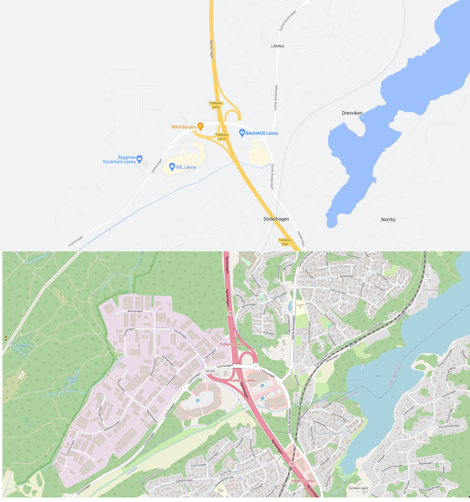
The top one is completely unusable if you want to do anything other than drive a car on the highway, in which case it's actually quite good.
(I picked this area specifically because it contains highway, railway, footpaths, water, residential area, industrial area, open fields, forest, and wetland. You wouldn't know, though, if you only looked at the top map. But it's not a location picked to be unfavourable to Google Maps – I sampled a few other places in the world where OSM coverage is likely to be decent, and it's the same story everywhere.)