Live data from Hacker News

Airline flights of the world visualized with WebGL

callumprentice.github.io

51–60 of 79 posts

Re: Airline flights of the world visualized with WebGL

#51

An ability to zoom into a smaller region would be nice. Also, hovering the mouse over an airport would pop up a tooltip with the airport's name and/or code. In any case, this is amazing! Oh, and displaying country borders and/or lat/lon lines would be great as well.

Good ideas. I'll add them to the list for V2. :)
Re: Airline flights of the world visualized with WebGL

#52
If the source data will allow it, it'd be awesome to see the different speeds reflected in the color of the path (with white outline so it still stands out).

Awesome visualization, great job.

Edit: Really wanted to zoom in and find an outlier plane meandering around aimlessly, but evidently they're all professionals.

Re: Airline flights of the world visualized with WebGL

#53

That's really cool! I did something similar for my thesis. We used flight information from http://planefinder.net/ as our data set. Unfortunately no WebGL, but you can see an impression in this Youtube video: https://www.youtube.com/watch?v=XvrdxLymMv0 More info here: http://www.cs.rug.nl/svcg/SoftVis/FlightVis

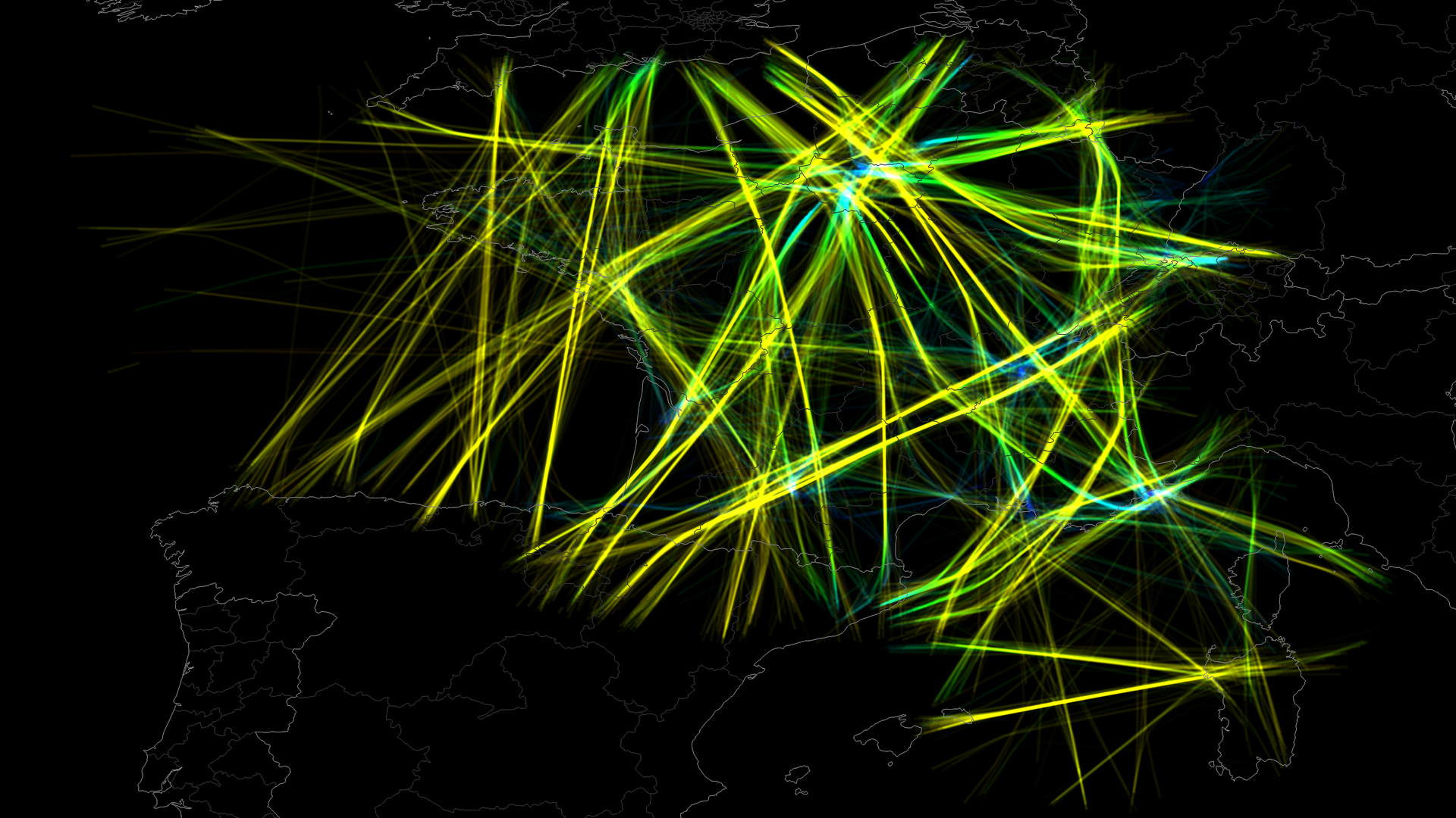
Very nice Tim - I love the way you smear out the data. I found plotting the data over Europe and the US to be a difficult visualization problem - there is just so much data in a small space. Perhaps changing the size of each point depending on your distance would work?

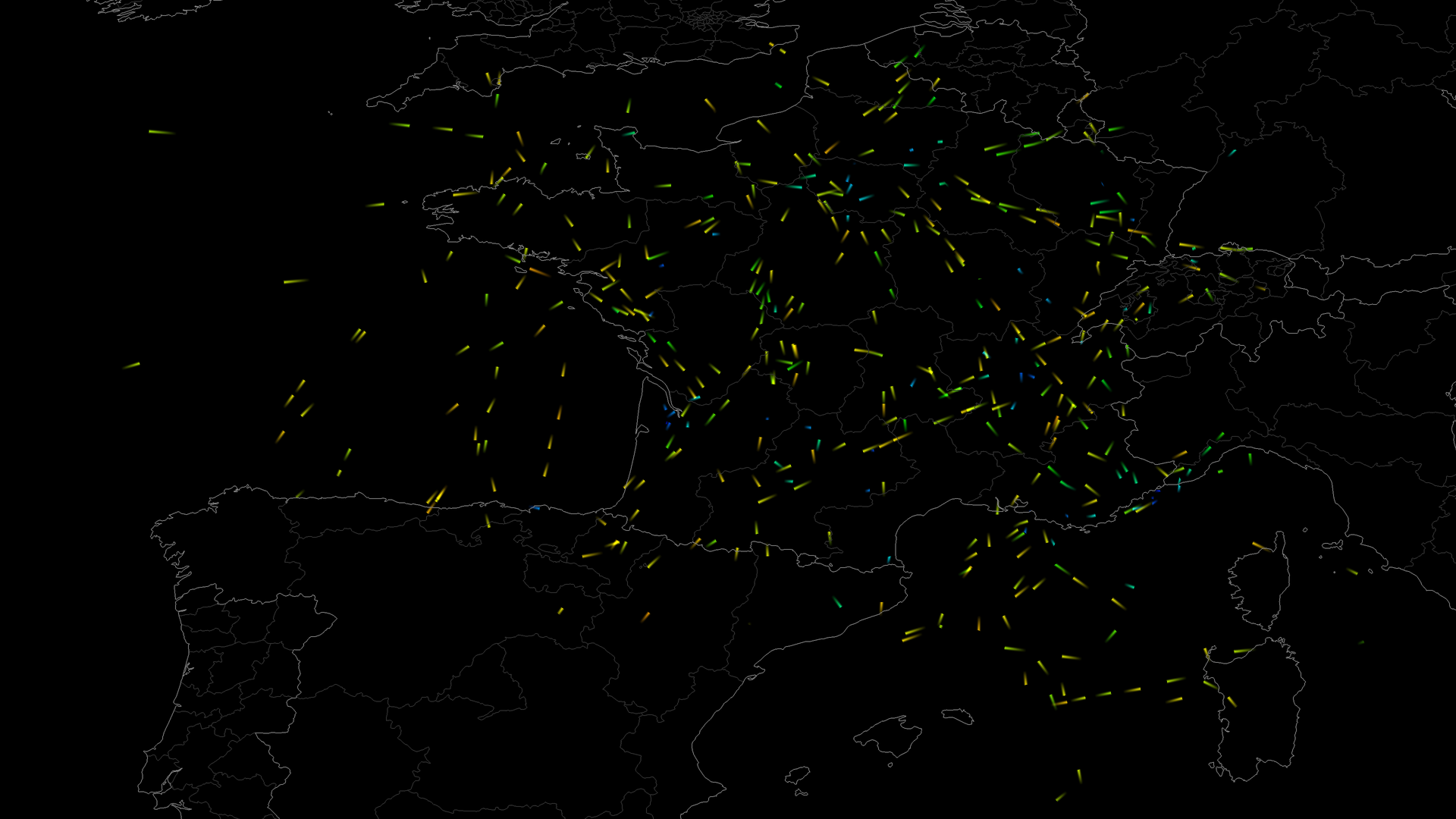
Yeah, especially Europe is really hard. We haven't found a solution yet for visualizing detailed information above very dense and scarce areas at the same time. Showing the data above a single country in Europe works a lot better (for example: http://www.cs.rug.nl/svcg/uploads/SoftVis/trails_length_1.pn... and http://www.cs.rug.nl/svcg/uploads/SoftVis/trails_length_4.pn... ). We use an option to reduce the point size based on the zoom-level.

If someone is interested, here are 2 more videos of our visualization

* https://www.youtube.com/watch?v=GYfBvQGKE9Y (short pulse-trails with background context, colored by altitude, above France)

* https://www.youtube.com/watch?v=0oqxIhO69tU (medium pulse-trails, no background trails, colored by direction).

For more information and pictures: http://www.cs.rug.nl/~alext/PAPERS/MSc/klein14.pdf

Re: Airline flights of the world visualized with WebGL

#54

That's really cool! I did something similar for my thesis. We used flight information from http://planefinder.net/ as our data set. Unfortunately no WebGL, but you can see an impression in this Youtube video: https://www.youtube.com/watch?v=XvrdxLymMv0 More info here: http://www.cs.rug.nl/svcg/SoftVis/FlightVis

[deleted]

Re: Airline flights of the world visualized with WebGL

#55
post #24

Interesting, on a desktop browser. On mobiles, 100% probability to kill Chrome on Android.

Yeah, it's really targeted at desktop because of the volume of data but I expect I have missed a bunch of optimization tricks. It's simple enough that I should be able to iterate on it.

As I mentioned in another thread, on my mobile Chrome just dies, it is not even sluggish.

Re: Airline flights of the world visualized with WebGL

#57
post #55

Earlier quoted context omitted.

Yeah, it's really targeted at desktop because of the volume of data but I expect I have missed a bunch of optimization tricks. It's simple enough that I should be able to iterate on it.

As I mentioned in another thread, on my mobile Chrome just dies, it is not even sluggish.

Maybe a shader issue then - WebGL is still fairly new on mobile devices.

Re: Airline flights of the world visualized with WebGL

#58

If the source data will allow it, it'd be awesome to see the different speeds reflected in the color of the path (with white outline so it still stands out). Awesome visualization, great job. Edit: Really wanted to zoom in and find an outlier plane meandering around aimlessly, but evidently they're all professionals.

Ha! Look over the Bermuda Triangle :) Colors is a really good idea and I experimented a bit with changing colors based on direction E/W and N/S - I like the idea of using velocity though and since it's not scientifically accurate, estimating based on position within the arc is probably good enough.

Re: Airline flights of the world visualized with WebGL

#59
post #4

Beautiful! (~36fps on Safari, Mid 2012 Retina MBP, 2.3GHz)

Thanks for the feedback in this thread. It is CPU bound with the calculations to move the points around - I wonder if I could push that off to the GPU - it's all really just simple trig.
Post reply on HN