Live data from Hacker News

OsmAnd’s Faster Offline Navigation (2025)

osmand.net

41–50 of 105 posts

Re: OsmAnd’s Faster Offline Navigation (2025)

#41

CoMaps is by far one of the best offline navigation map app available. They forked from Organic Maps project which seems to have gone evil. CoMaps calculation is very fast, map update is constant, it is very lightweight, it has a very clean layout, usability is top tier. CoMaps can find places by the business name, there is still room for improvement but it works. I was using EarthMagic before that, it was the perfec…

What happened to Organic Maps?

The same that happened with Ubiquiti, pfSense, Ubuntu and Earth Magic recently.

They all start "for the community", become too big, go greedy, and forget that projects/company is nothing without users.

Re: OsmAnd’s Faster Offline Navigation (2025)

#42
post #37

Earlier quoted context omitted.

What happened to Organic Maps?

The community forked and created comaps because the organic maps maintainers were unwilling to listen to the community, taking decisions that the community disapproved of. Comaps seems to be more active than organic maps today

That is what I gathered tho, Organic Map seems to have lost not just the interest of the cummunity but everything in between.

When you have an option like CoMaps that is opensource friendly and very active, I got 2 maps updates within like 2 weeks, you already lost it all.

What I am impressed with is the app, it is so clean, polished and well designed so is the map.

Re: OsmAnd’s Faster Offline Navigation (2025)

#43
post #36

I really want to stop using Google maps but the issue I have with every other option is that I can never just search for the place I want to go to. 99% of the time, the place I am going to is a business, searching " " on anything other than Google maps either gives me nothing (OsmAnd in this category) or might give me some the shops of that chain but in a random order and intermixed with towns a hundred miles away wh…

The situation with retail chains is improving thanks to projects such as https://alltheplaces.xyz/ (disclaimer: I'm a contributor) and efforts of some OSM contributors to focus their contributions towards comparing OSM and ATP features to add missing shops, remove closed shops, update opening hours, etc. For one such example, see https://matkoniecz.codeberg.page/improving_openstreetmap_usi... for a tool (created by h…

Is there a feed of closed shops somewhere? If so, ArchiveTeam could use that to save their websites to archive.org.

https://wiki.archiveteam.org/

Re: OsmAnd’s Faster Offline Navigation (2025)

#44

I really want to stop using Google maps but the issue I have with every other option is that I can never just search for the place I want to go to. 99% of the time, the place I am going to is a business, searching " " on anything other than Google maps either gives me nothing (OsmAnd in this category) or might give me some the shops of that chain but in a random order and intermixed with towns a hundred miles away wh…

> The best solution I have come up with is to use Google maps to find the actual address and then copy that into the other app

This is what I do.

> but at that point I might as well just use Google maps.

I disagree. OSMAnd is so much more user-friendly as a map. Google Maps is a great business locator, but that's all it really does well.

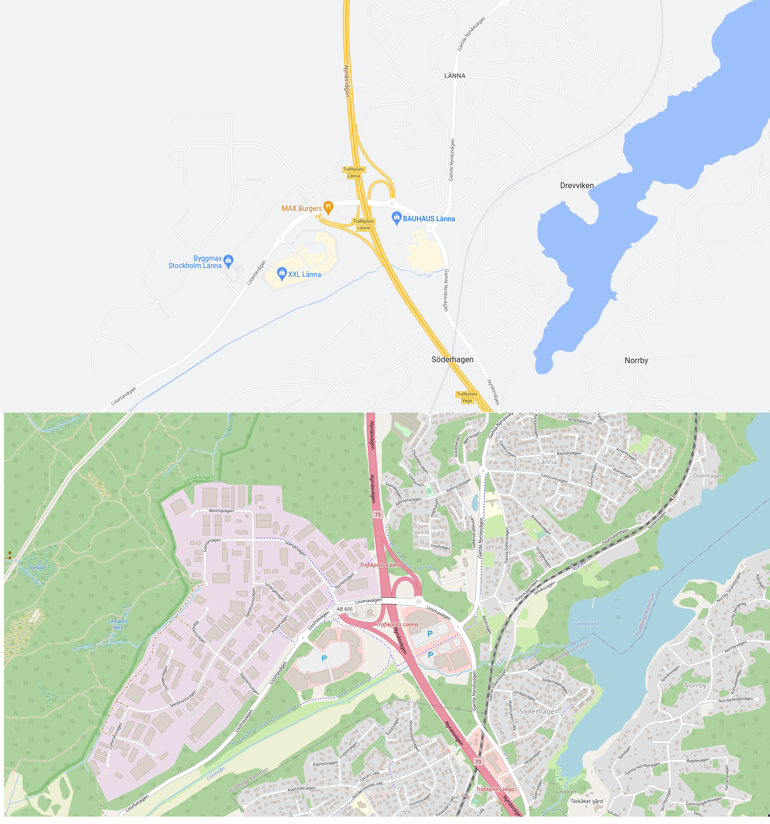
Here's a comparison, albeit this uses openstreetmap.org rather than OSMAnd: https://i.xkqr.org/gmapsvsosm.png

Re: OsmAnd’s Faster Offline Navigation (2025)

#45
post #43
post #36

Earlier quoted context omitted.

The situation with retail chains is improving thanks to projects such as https://alltheplaces.xyz/ (disclaimer: I'm a contributor) and efforts of some OSM contributors to focus their contributions towards comparing OSM and ATP features to add missing shops, remove closed shops, update opening hours, etc. For one such example, see https://matkoniecz.codeberg.page/improving_openstreetmap_usi... for a tool (created by h…

Is there a feed of closed shops somewhere? If so, ArchiveTeam could use that to save their websites to archive.org. https://wiki.archiveteam.org/

Nothing ready-to-go that I'm aware of. ATP will just observe in the next weekly crawl that a shop is no longer returned by the storefinder API call or sitemap crawl, and that shop will simply not be present in the next weekly dataset generated.

To set up archives of shop-specific pages (e.g. record of opening hours, address, etc at a point in time), one could monitor the latest builds of https://alltheplaces.xyz/builds.html and when a new build completes, take the new build and 2nd oldest build to compare differences. Then for any feature whose attributes have changed (address, phone number, opening hours, etc) archive the `website` and/or `source_uri` attribute pages again to ensure the latest snapshot is captured. Any new feature would get the same treatment so the page for the newly observed shop/feature is archived for the first time.

I'm also aware ArchiveTeam projects tend to commence once the impending collapse of a retail chain is known and someone realises there is a website not archived which would be useful to preserve. Monitoring of ATP feature counts for brands across time may give some hint of how a brand is performing and whether it is growing or shrinking without having to find press releases and financial statements of the brand. Even if a brand suddenly announces bankruptcy (it happens all the time), generally the website will remain online for at least a few months whilst a new buyer is sought or whilst each retail location has a fire sale to get rid of remaining merchandise. It's also worthwhile to be aware of acquisitions of retail chains as this often results in the new parent company changing websites soon after acquisition closes, possibly removing useful content that once existed. Websites also change "just because" and this could be observed after-the-fact by seeing when ATP spiders break and get replaced/fixed.
Re: OsmAnd’s Faster Offline Navigation (2025)

#46
Could anyone explain, please, where's the 100x acceleration they mention? The screen records compare 36 seconds to 13 seconds, that's roughly 3x.

Also, this piece:

> 100x speedup is achieved by comparing HH with bidirectional A*. 2-phase A* already uses many heuristics which don't always create an optimal route and still 5-10x slower.

So, 2-phase A* is 5-10x slower than bidirectional A*?

Re: OsmAnd’s Faster Offline Navigation (2025)

#47
post #19
post #14

For those of you using OSMAnd - do you think there is any chance that they will offer public transport routing? I would at once get the 15-year XV plan if they got this, but perhaps it's at odds with their motto “Offline Maps and Navigation”? (even if I personally could live with schedule-based routing, i.e. not real-time routing, at least for a while).

You can enable the "public transport" profile in OsmAnd, today. It might not support your local area, though.

years ago i added a bunch of bus stops in my city. the app never picked that up. busses don;t work.

Re: OsmAnd’s Faster Offline Navigation (2025)

#48
post #20

Some of those objections to Contraction Hierarchies are possibly a little out of date. Modern variants of the technique allow for rapid live traffic customisation, see e.g. https://arxiv.org/pdf/2502.10519 . I suspect that the "nested dissection" approach also allows for regional maps. It's been a while since I looked at OSRM's implementation, but I don't think they've been keeping up with the cutting edge here.

Who knows .. ;)

Re: OsmAnd’s Faster Offline Navigation (2025)

#50
post #19

Earlier quoted context omitted.

You can enable the "public transport" profile in OsmAnd, today. It might not support your local area, though.

years ago i added a bunch of bus stops in my city. the app never picked that up. busses don;t work.

Some buses do work. Adding bus stops to the map is necessary, but not sufficient to make them work.
Post reply on HN