Live data from Hacker News

This map is not upside down

maps.com

481–490 of 540 posts

Re: This map is not upside down

#481
post #72

90% of the world's population and 68% of the land mass being in the northen hemisphere is probably a good enough reason to put north up top on a map.

By this logic, should we put east Asia on the top and have the less populated western hemisphere on the bottom? Why not have East be up?

Re: This map is not upside down

#482
post #479

I wonder if there is a map with a tilted earth that puts the majority of the landmasses in the middle and the oceans at the edges, in order to have the land viewable with the least amount of distortion for the given projection.

You should totally check this wiki page: https://en.wikipedia.org/wiki/List_of_map_projections

For a list of alternative projections

And also this one for a whole deep dive in the topic https://en.wikipedia.org/wiki/Map_projection

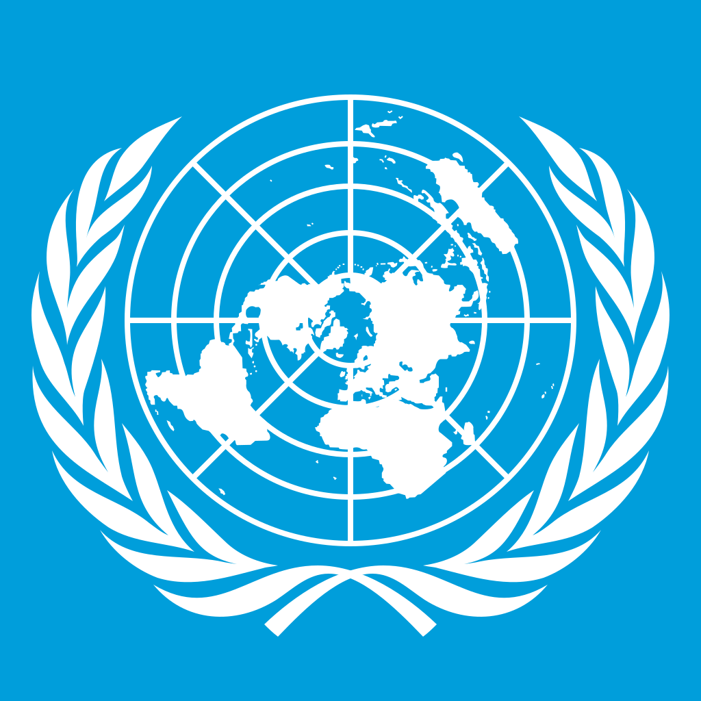
People have gotten very creative about the topic .. also.. the UN actually uses a north-centered view of the world to compromise on this.. it’s really cool

https://upload.wikimedia.org/wikipedia/commons/thumb/2/2f/Sm...

Re: This map is not upside down

#483
This argument is much more interesting for maps that do NOT show the whole globe. The map in the article wastes a lot of space for solid blue. The continents just happen to currently mostly reside on the northern hemisphere.

Re: This map is not upside down

#484
post #479

I wonder if there is a map with a tilted earth that puts the majority of the landmasses in the middle and the oceans at the edges, in order to have the land viewable with the least amount of distortion for the given projection.

My very favorite map projection is the AuthaGraph map: http://www.authagraph.com

It is a novel (I would say amazing) map projection that manages to retain proportional landmass size by using an "ioso-area-mapping" technique. It maps the sphere to a tetrahedron and then slices and unfolds that tetrahedron into a 2d plane.

The method places all of the continents into the map (proportionally!), while also being able to tessellate (so you can move the "viewfinder" to focus on different map subsections without changing the overall map). It's easier to see than describe. The "4" link is an example of modifying the "view" of the tessellated surface to create maps that focus on particular regions.

The downside is that "north" and "south" are rather arbitrary points on the map, instead of being at the top/bottom.

It is still by far my favorite 2D map projection!
Re: This map is not upside down

#485
post #261

Earlier quoted context omitted.

Islas Malvinas are Argentinian.

Not in these three fairly important ways: actual control, the wishes of the people who actually live there, de jure recognition by most countries. Otherwise, sure, totally and wholly Argentinian.

Yeah well... thats what england used to do, invade, put their own people to live there and then ask them if they feel like beloging to the crown.

You can ask Ireland.

Re: This map is not upside down

#486

Earlier quoted context omitted.

"Deciding to put south, or north, at the top of maps is a decision of consequence. Psychologically, we tend to view things nearer the top as ‘good’ and those lower as ‘bad.’ This can influence our interpretation of maps at both global and local scales." There it is, the implication that "North is up" is morally bad. Since it's an implication, it does not need to be read that way, but it's clearly there.

> Psychologically, we tend to view things nearer the top as ‘good’ and those lower as ‘bad.’ The oldest maps in the world and in Europe are oriented North at the top and the essential feature in the middle. For the Babylonians it was the Euphrates and Babylon itself. For the Europeans it was the Mediterranean. The implication that everyone sees up/North as better means that generations of Greek or Roman cartographers…

> The oldest maps in the world and in Europe are oriented North at the top

This isn't true, the oldest maps from the Middle Ages were oriented towards the East. (In fact the very word "orient" refers to the East.) The convention of putting north at the top is only a couple of centuries old.

Re: This map is not upside down

#487

Earlier quoted context omitted.

First time seeing this and it feels so offensive. I'm somewhat okay with the term developed and developing countries, though not too much [1]. But this just feels discriminatory. 1. https://en.wikipedia.org/wiki/Factfulness

Don’t bother trying to learn the new shibboleths. By the time the majority has accepted them, they’ll be outdated and the progressives will have moved onto another set. Before ‘developed’ and ‘developing’ we had ‘first world’ and ‘third world’.

First World were countries aligned with the United States, Second World were countries aligned with the Soviet Union, and Third World were countries who were "neutral" or not aligned with either major superpower. Many Third World countries were newly independent, and were economically struggling but also wanted to assert sovereignty. Many were given aid packages to attempt to court them to one side or the other. The terms are outdated because of reality, not because of "progressives".

Re: This map is not upside down

#489

Earlier quoted context omitted.

> Psychologically, we tend to view things nearer the top as ‘good’ and those lower as ‘bad.’ The oldest maps in the world and in Europe are oriented North at the top and the essential feature in the middle. For the Babylonians it was the Euphrates and Babylon itself. For the Europeans it was the Mediterranean. The implication that everyone sees up/North as better means that generations of Greek or Roman cartographers…

> The oldest maps in the world and in Europe are oriented North at the top This isn't true, the oldest maps from the Middle Ages were oriented towards the East. (In fact the very word "orient" refers to the East.) The convention of putting north at the top is only a couple of centuries old.

The oldest world maps were drawn long before the Middle Ages.

The oldest known world map is the Babylonian Imago Mundi from around the 6th century BCE which has north at the top. Claudius Ptolemy's Geographia also specified north was at the top in 2nd century.

Historically, the prize position on a world map was not the top, but the center.

Post reply on HN