[deleted]
Unofficial new Berlin rapid transit route map
31–40 of 65 posts
Re: Unofficial new Berlin rapid transit route map
#32This is a nice piece of art. I can't really comment _much_ on how functional it is but I can say people's complaints are usually overblown and many appreciate the refreshed look. This one in particular seems to retain a lot of original geography while looking a lot softer/warmer.
I'm personally inclined, as I think others are as well these days (given that I see them in shops), to put these various transit maps up as art in my home, although usually an even more artistic rendition. I grew to love these kinds when living in Seoul, whose subway system is comparable in size to that of Tokyo these days. Funny enough, it seems like the older Berlin maps were headed in a similar direction, portraying the main "ring" line very literally with branches off of it.
See: https://sociorocketnewsen.files.wordpress.com/2014/10/tokyo-...

or: https://proxy.duckduckgo.com/iu/?u=https%3A%2F%2Fi.pinimg.co... for Seoul

Re: Unofficial new Berlin rapid transit route map
#33Berliner here. The ring (called like that by most citizens, here drives the “ringbahn” – circular train) serves most as orientation. People say “I live inside the ring”, or “that party is far outside, outside the ring”. Removing this element alone is a really bad decision. By looking at the original map a couple of times it is very easy to use the ring as visual aid and go from there. It is essential for navigation.…
> Removing this element alone is a really bad decision. By looking at the original map a couple of times it is very easy to use the ring as visual aid and go from there. It is essential for navigation.
I'm not sure I understand your point. Ring is very much the central element in this new map, isn't it?
Re: Unofficial new Berlin rapid transit route map
#34I certainly don't mind such experiments, but after living in Berlin for quite a while now, I still have to hear anyone complain about that the transit map is hard to read. I personally would even say that it's one of the easier ones I have used regularly (compare to Stuttgart for example, which is pretty cryptic due to the city's geography).
I've spend a lot of time in Berlin, and I find it hard to read. Mostly in that sometimes it's relatively annoying to determine what lines will get me from Station A to Station B.
For example, let's say you're a tourist and you arrive at Hauptbahnhof, and you need to get to get to Alexanderplatz - what lines will get you there?
There's a whole bunch, and it's very hard to figure that out quickly. Or you might see that the S9 does what you need and you'll just wait for that, so you'll go there and wait, while the S3,S5,S7 pass you by.
Re: Unofficial new Berlin rapid transit route map
#35A very different Berlin metro map, based on concentric circles, drawn by a good friend of mine (and old housemate): https://glyphobet.net/rundumberlin/ It makes much less of an attempt to correlate with actual geography, but is faster to find connections on.
I don't have much to add, but very cool! I love new perspectives like this and what they add. They can be useful when considering what new patterns can add for the official maps (or at least one can wish).
Re: Unofficial new Berlin rapid transit route map
#36This is a nice piece of art. I can't really comment _much_ on how functional it is but I can say people's complaints are usually overblown and many appreciate the refreshed look. This one in particular seems to retain a lot of original geography while looking a lot softer/warmer. I'm personally inclined, as I think others are as well these days (given that I see them in shops), to put these various transit maps up as…
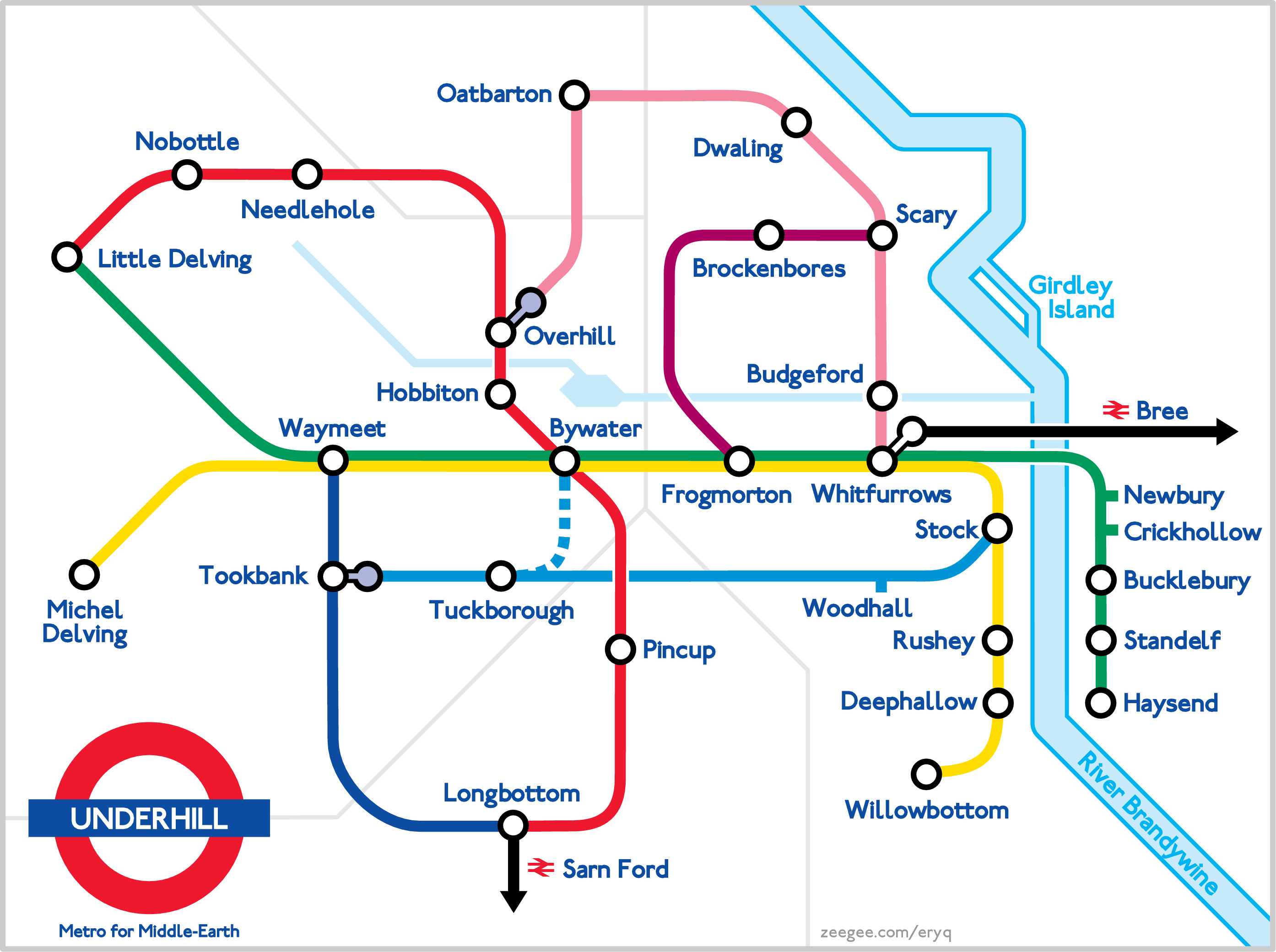
You might enjoy http://eryq.org/content/page/Underhill/Underhill.png
Re: Unofficial new Berlin rapid transit route map
#37This is a nice piece of art. I can't really comment _much_ on how functional it is but I can say people's complaints are usually overblown and many appreciate the refreshed look. This one in particular seems to retain a lot of original geography while looking a lot softer/warmer. I'm personally inclined, as I think others are as well these days (given that I see them in shops), to put these various transit maps up as…
You might enjoy http://eryq.org/content/page/Underhill/Underhill.png
I like it! Particularly as someone not that familiar with the geography of The Shire or surrounding areas, having only really read the books, makes me wanna break out a map and see how it lays out.
Sure enough: http://lotrproject.com/map/#zoom=3&lat=-1691&lon=1500&layers...
Re: Unofficial new Berlin rapid transit route map
#38Berliner here. The ring (called like that by most citizens, here drives the “ringbahn” – circular train) serves most as orientation. People say “I live inside the ring”, or “that party is far outside, outside the ring”. Removing this element alone is a really bad decision. By looking at the original map a couple of times it is very easy to use the ring as visual aid and go from there. It is essential for navigation.…
As a foreigner, this new map looks a lot clearer, and I still see a clearly delineated ring in the center. What exactly is the problem with dropping the forced circle shape?
Re: Unofficial new Berlin rapid transit route map
#39I certainly don't mind such experiments, but after living in Berlin for quite a while now, I still have to hear anyone complain about that the transit map is hard to read. I personally would even say that it's one of the easier ones I have used regularly (compare to Stuttgart for example, which is pretty cryptic due to the city's geography).
I've spend a lot of time in Berlin, and I find it hard to read. Mostly in that sometimes it's relatively annoying to determine what lines will get me from Station A to Station B. For example, let's say you're a tourist and you arrive at Hauptbahnhof, and you need to get to get to Alexanderplatz - what lines will get you there? There's a whole bunch, and it's very hard to figure that out quickly. Or you might see that…
I've literally made that exact journey and I don't remember it being that hard to decipher. It's not confusing just because multiple lines go from A to B. You can clearly see that all those lines are equivalent between those two points
Re: Unofficial new Berlin rapid transit route map
#40Not gonna lie, without trams (the obvious best mode of transport) in the map, it's of little use. That's obviously the same for the original one. Don't understand why they are not combined. Let's be honest, it's GoogleMaps all day any day.