Why is Chile so long?
unchartedterritories.tomaspueyo.com
Why is Chile so long?
1–10 of 468 posts
Re: Why is Chile so long?
#2This is super interesting. Sharing with my kids who are starting geography in school this year.
Re: Why is Chile so long?
#3My key takeaway from this article is that the best place to go see the Milky Way is deep in the Amazon rainforest… where the tree cover is nearly 100% and there isn’t a single road for a hundred miles.
That’s a neat collection of graphics. I’m curious how bespoke the creation process is for each graphic or if this is something everyone just does in ArcGis or similar.
That last graphic about the Western US being the only other candidate is interesting because the two sides of the Rockies weren’t connected by a highway until the I70 over Glenwood Canyon was completed in 1992. Before its completion, the western and eastern halves of Colorado were practically different states and it took the interstate highway project half a century to get there because the terrain was so challenging.
Re: Why is Chile so long?
#4Is there a name for this simple style of writing?
It reminds me of the style of pop science books written in the late 19th and early 20th century. There's a nice charm in it, like it's trying not to be pretentiously complex.
Re: Why is Chile so long?
#5Is there a name for this simple style of writing? It reminds me of the style of pop science books written in the late 19th and early 20th century. There's a nice charm in it, like it's trying not to be pretentiously complex.
honestly it feels like a powerpoint presentation in an article.
Re: Why is Chile so long?
#6This is such a clear and engaging read! I wish all articles made learning this fun and accessible
Re: Why is Chile so long?
#7"""
Peru & Bolivia went to war with Chile for that region, but they lost in the War of the Pacific.
Why fight? Natural resources: guano and saltpeter.
Back then, guano was the world’s main fertilizer (and this area had most of the world's guano, thanks to the climate).
"""
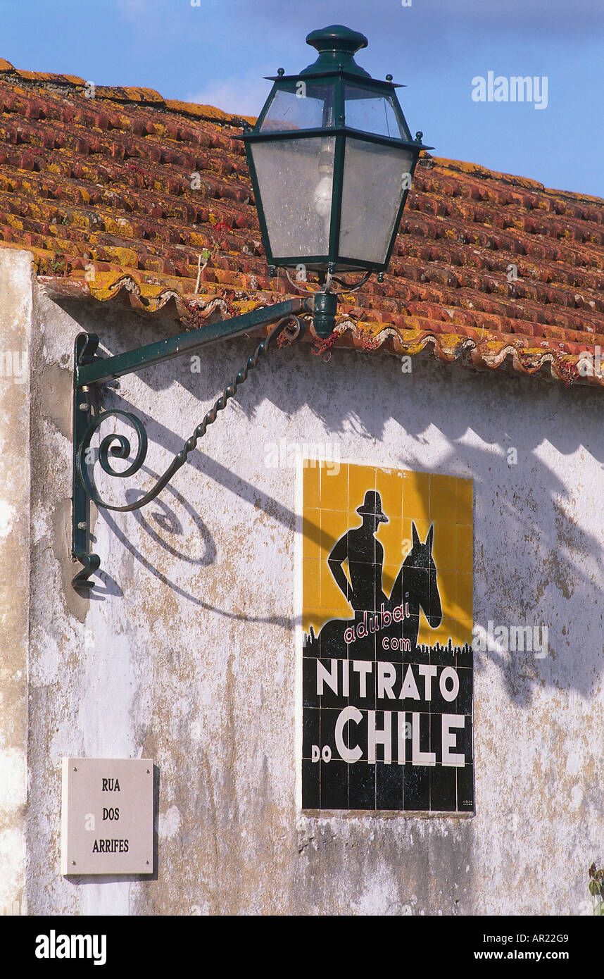
That fertilizer produced iconic advertising in mid XX Century Portugal and Spain: https://c8.alamy.com/comp/AR22G9/nitrato-de-chile-advertisin...
Re: Why is Chile so long?
#8My key takeaway from this article is that the best place to go see the Milky Way is deep in the Amazon rainforest… where the tree cover is nearly 100% and there isn’t a single road for a hundred miles. That’s a neat collection of graphics. I’m curious how bespoke the creation process is for each graphic or if this is something everyone just does in ArcGis or similar. That last graphic about the Western US being the o…
I think the graphics have numerous sources and mostly/entirely aren't made by the post author. There are five different styles in the first six map images!
Re: Why is Chile so long?
#9This site owner is living the small-web fantasy we HN'rs keep talking about.
Re: Why is Chile so long?
#10How is the table of dialects constructed? It's obvious if two dialects are at 1, but what does it mean if they're at 0? They can't be mutually unintelligible, since that would make them different languages. I ask because the dialects spoken in Argentina and in Uruguay are practically identical, save for a few regional words. If the scale being used puts them at 0.35, then it makes me wonder about the usefulness of the scale.